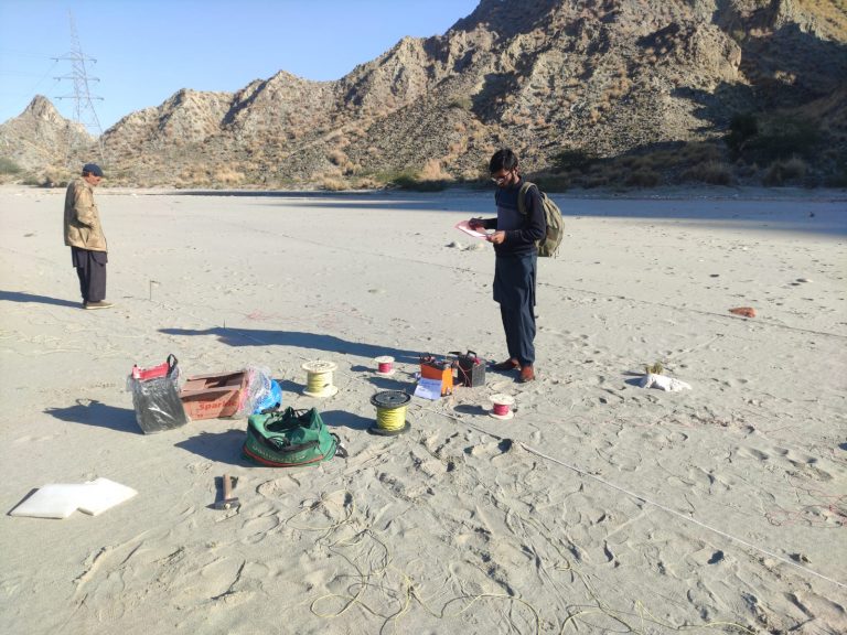
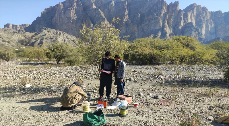
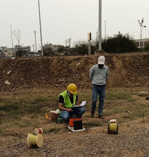
Geophysical survey is ground-based physical sensing techniques used for archaeological imaging or mapping. It involves measuring the physical properties of the ground (or structure) and determining if there are any variations or ‘anomalies’ in the background readings. The occurrence of anomalies can indicate the presence of a feature(s) or changes in a material’s composition. Geophysics is a broad discipline with a wide range of techniques that can be used in a variety of sectors.
There are a wide variety of geophysical techniques available, each one measuring different physical properties and each being more or less sensitive to different types of feature. The suitability of any given technique will depend on the sites specific conditions and the type and composition of likely target features.
Pioneer Associates used common techniques for geophysical survey are seismic, electromagnetic and magnetic methods, ground penetrating radar, electrical resistance (or conductivity) meters and gravimetry.